
A year of map hacks
In preparation for heading off to the mapping conference FOSS4G I made a roundup of the map hacking projects I’ve done in the last year or so. There’s more there than I realized. Things that are more like real products are at the top.
- WindHistory.com, a map of prevailing winds.
- Fisk Map, a simple web view into an amazing historical map of the Mississippi River.
- An unreleased project I’ve been working on that maps GPS tracks from airplane flights.
- iPhone location map, before Apple fixed the location data leak.
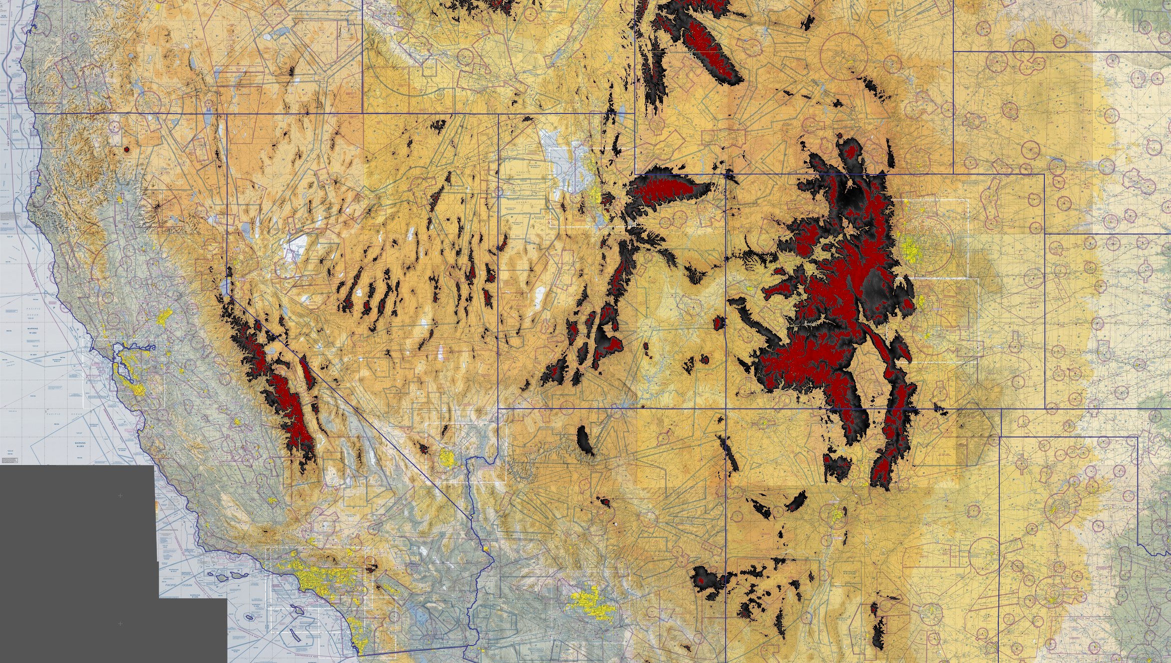
- SRTM overlay drawing a stark raster of high elevations over a base aviation map. (Big static image).
- A bunch of base maps, a hacking framework for trying out different raster maps.
- Minecraft polymap, a quick hack showing a loupe to let you see an underground layer
Map data has become much more accessible to journeymen hackers; I did most of this work without using or, honestly, understanding most traditional GIS tools like GRASS and the various ESRI products. A lot of my hacks have been motivated by Polymaps and how easy it is to make maps in Javascript with data overlays.