
| ||

Tue 2026-04-28
Mon 2026-04-27
Sun 2026-04-26
Sat 2026-04-25
Thu 2026-04-23
Wed 2026-04-22
Tue 2026-04-21
Mon 2026-04-20
Sun 2026-04-19
Sat 2026-04-18
Fri 2026-04-17
Thu 2026-04-16
Search
Archives
2024
12 11 10 09 08 07 06 05 04 03 02 01
2023
2022
2021
2020
2019
2018
2017
2016
2015
2014
2013
2012
2011
2010
2009
2008
2007
2006
2005
2004
2003
One good site
MDN
Nelson Minar
Blog licensed under a Creative Commons License
|
Interesting pair of maps showing the route of the
controversial Dakota Access Pipeline
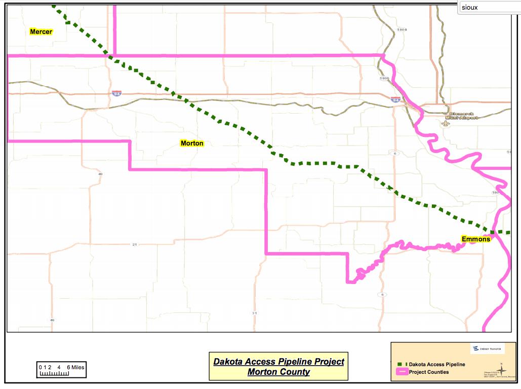 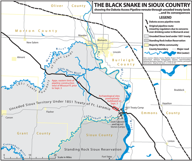 The upper map is the official map from Energy Transfer Partners. It is remarkably free of detail. Enter Carl Sack's map below, which contains a lot more detail and was designed explicitly to help oppose the pipeline. It's objectively a better map in many ways, particularly showing the locations of rivers and the Sioux Reservation. It's also notable that Sack includes the "Unceded Sioux Territory". My understanding (and I could be wrong) is that land has disputed legal status today, the result of a broken treaty with the Sioux. The passing of this pipeline through that land is a key part of the dispute, though, and mapping it helps us understand the protest against the pipeline's passage through that land. |
|
